Flood recovery
January 2011 flood recovery assessment of Leaghur State Park
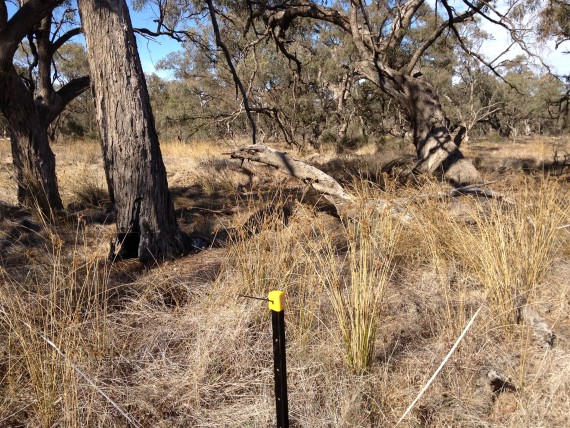
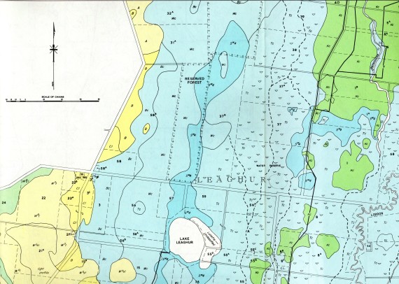
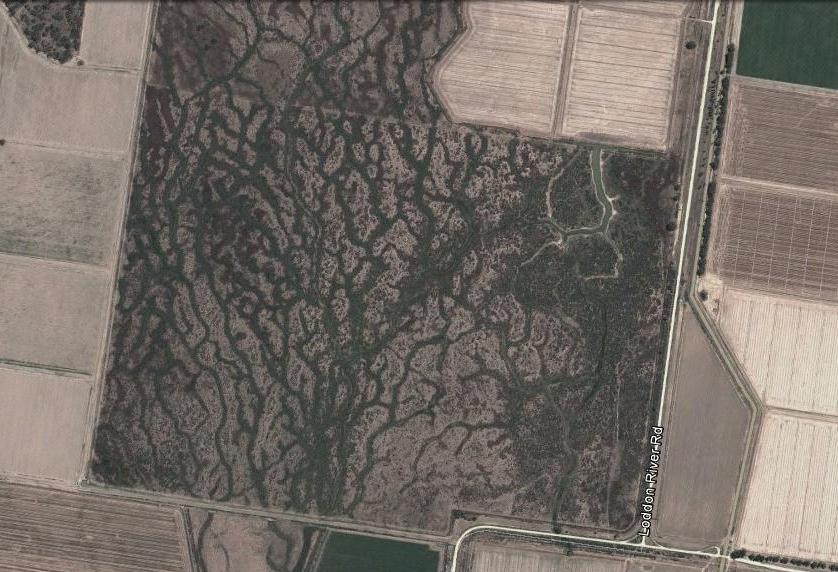
Following the spectacular floods across much of central and northern Victoria in January 2011, the Victorian Government established a special flood recovery program targeted at helping affected communities get back on their feet. However, some funding was also allocated at assessing the environmental and biodiversity impact of the deluge – especially in the middle and lower Loddon and Campaspe River catchments. This project included weed mapping and revisited monitoring sites in Leaghur State Park (located just west of the Loddon River between Kerang and Boort) to assess how this major flood affected this unique natural flood plain reserve dominated by Black Box (Eucalyptus largiflorens) and home to many threatened plants and animals.
While a dramatic impact was expected, the project represented an opportunity to document a more detailed and nuanced picture of the event to help better understand how the flood plain ecosystem functions and to better inform conservation management. The results revealed a spectacular boom in species diversity with a big increase in the number of plants (both natives and weeds) recorded for the park. Further good news was an expansion of the list of significant species. The work highlights the critical need for maintaining frequent flooding in the park and in particular ensuring there are no impediments to the rarer major flooding events.