Vegetation mapping
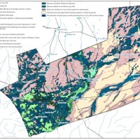
Boolcoomatta and Bon Bon Reserve vegetation mapping
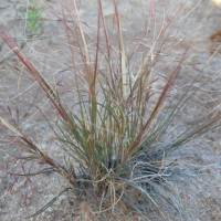
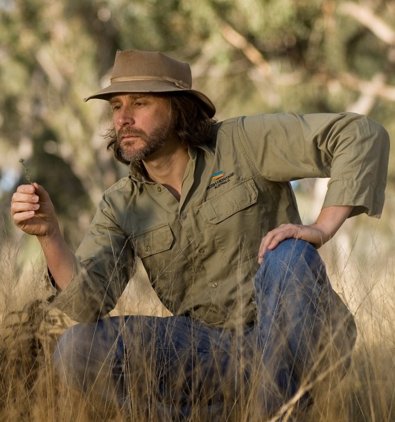
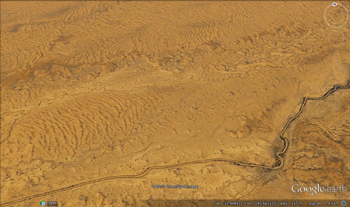
While state-wide vegetation mapping is very useful for considering big-picture, bioregional patterns and trends in biodiversity, it is not so useful for day-to-day on-ground management. This project entailed mapping and field checking the finer-scale vegetation patterns at Bush Heritage’s two South Australian Reserves – Bon Bon (between Port Augusta and Cooper Pedy) and Boolcoomatta (west of Broken Hill). The work included, interpretation of satellite imagery and aerial photographs, digitising linework and creating polygons in a Geographic Information System (GIS) and validation and description of patterns with targeted field survey. The mapping has proven to be very useful for a whole range of important issues including, biodiversity monitoring, fire management, pest animal and plant control and threatened species recovery.