Spatial information management for conservation management

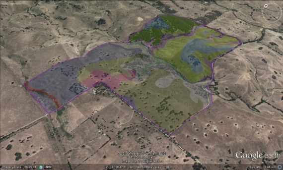
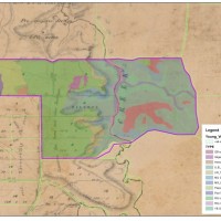
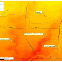
Spatial data and the means to readily create, manipulate and analyse spatial information, is now more available, cheaper and easier to use than ever before. Today, a myriad array of spatial data: from terrain; hydrology; geomorphology; climate records; satellite imagery; historic survey maps; herbarium records and bird observations etc. etc. is all available at the click of a button from virtually anywhere across to globe. Consequently, land managers are increasingly developing their own local GIS (Geographic Information Systems) to collect, store and analyse data to help improve their management practices and achieve their objectives. Paul routinely integrates this technology into all projects and can advise on how to establish basic capacity especially for use in bushland and biodiversity conservation management.
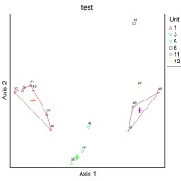
Services include: establishing local spatial information management systems; introductory training; sourcing appropriate hardware and software; sourcing key spatial data; techniques and tools for collecting spatial data at local level; and how to conduct basic spatial analyses to assist conservation management planning and decision making.


